
-
Federal
Tides and Currents Map: an interactive map of all CO-OPS stations NGDA 34 recent views
National Oceanic and Atmospheric Administration, Department of Commerce —
This interactive map has many features designed to provide a quick and easy way to find a Center for Operational Oceanographic Products and Services (CO-OPS) station.... -
Federal
Social Vulnerability Index (SoVI) for the U.S. Coastal States based on the 2010 Census Tracts 30 recent views
National Oceanic and Atmospheric Administration, Department of Commerce —
The Social Vulnerability Index (SoVI) 2006-10 measures the social vulnerability of U.S. counties to environmental hazards. The index is a comparative metric that... -
Federal
Meteorological Data (including visibility) 13 recent views
National Oceanic and Atmospheric Administration, Department of Commerce —
The National Ocean Service (NOS) maintains a long-term database containing data from active and historic stations installed all over the United States and U.S.... -
Federal
National Status and Trends: Mussel Watch Program 11 recent views
National Oceanic and Atmospheric Administration, Department of Commerce —
Mussel Watch is the longest running continuous chemical contaminant monitoring program in U.S. coastal and Great Lakes waters and was created in response to concerns... -
Federal
Shoreline Mapping Program of HEAD OF GREEN BAY TO PESHTIGO POINT, INCLUDING FOX RIVER TO DE PERE, WI, WI1001G-CM-N NGDA
National Oceanic and Atmospheric Administration, Department of Commerce —
These data provide an accurate high-resolution shoreline compiled from imagery of HEAD OF GREEN BAY TO PESHTIGO POINT, INCLUDING FOX RIVER TO DE PERE, WI . This... -
Federal
2022 NOAA OCM Topobathy Lidar DEM: Northern Green Bay, WI
National Oceanic and Atmospheric Administration, Department of Commerce —
These data were collected by Dewberry using a CZMIL Super Nova system. The data were acquired from 20220719 through 20220816. The data are rasterized topobathy lidar... -
Federal
Shoreline Data Rescue Project of Nemadji River, Superior, Wisconsin, CM-8311 NGDA
National Oceanic and Atmospheric Administration, Department of Commerce —
These data were automated to provide an accurate high-resolution historical shoreline of Nemadji River, Superior, Wisconsin suitable as a geographic information... -
Federal
NOAA/WDS Paleoclimatology - Global Lake-Level Variations from 18,000 to 0 Years Ago: A Paleoclimatic Analysis
National Oceanic and Atmospheric Administration, Department of Commerce —
This archived Paleoclimatology Study is available from the NOAA National Centers for Environmental Information (NCEI), under the World Data Service (WDS) for... -
Federal
H02191: NOS Hydrographic Survey
National Oceanic and Atmospheric Administration, Department of Commerce —
The National Oceanic and Atmospheric Administration (NOAA) has the statutory mandate to collect hydrographic data in support of nautical chart compilation for safe... -
Federal
H00450: NOS Hydrographic Survey
National Oceanic and Atmospheric Administration, Department of Commerce —
The National Oceanic and Atmospheric Administration (NOAA) has the statutory mandate to collect hydrographic data in support of nautical chart compilation for safe... -
Federal
H03038: NOS Hydrographic Survey , 1909-12-31
National Oceanic and Atmospheric Administration, Department of Commerce —
The National Oceanic and Atmospheric Administration (NOAA) has the statutory mandate to collect hydrographic data in support of nautical chart compilation for safe... -
Federal
H00583: NOS Hydrographic Survey
National Oceanic and Atmospheric Administration, Department of Commerce —
The National Oceanic and Atmospheric Administration (NOAA) has the statutory mandate to collect hydrographic data in support of nautical chart compilation for safe... -
Federal
H03375: NOS Hydrographic Survey , 1912-12-31
National Oceanic and Atmospheric Administration, Department of Commerce —
The National Oceanic and Atmospheric Administration (NOAA) has the statutory mandate to collect hydrographic data in support of nautical chart compilation for safe... -
Federal
NOAA Office for Coastal Management Coastal Digital Elevation Model: Lake Michigan
National Oceanic and Atmospheric Administration, Department of Commerce —
These data were created as part of the National Oceanic and Atmospheric Administration Office for Coastal Management's efforts to create an online mapping viewer... -
Federal
H02710: NOS Hydrographic Survey
National Oceanic and Atmospheric Administration, Department of Commerce —
The National Oceanic and Atmospheric Administration (NOAA) has the statutory mandate to collect hydrographic data in support of nautical chart compilation for safe... -
Federal
H07791: NOS Hydrographic Survey , 1949-12-31
National Oceanic and Atmospheric Administration, Department of Commerce —
The National Oceanic and Atmospheric Administration (NOAA) has the statutory mandate to collect hydrographic data in support of nautical chart compilation for safe... -
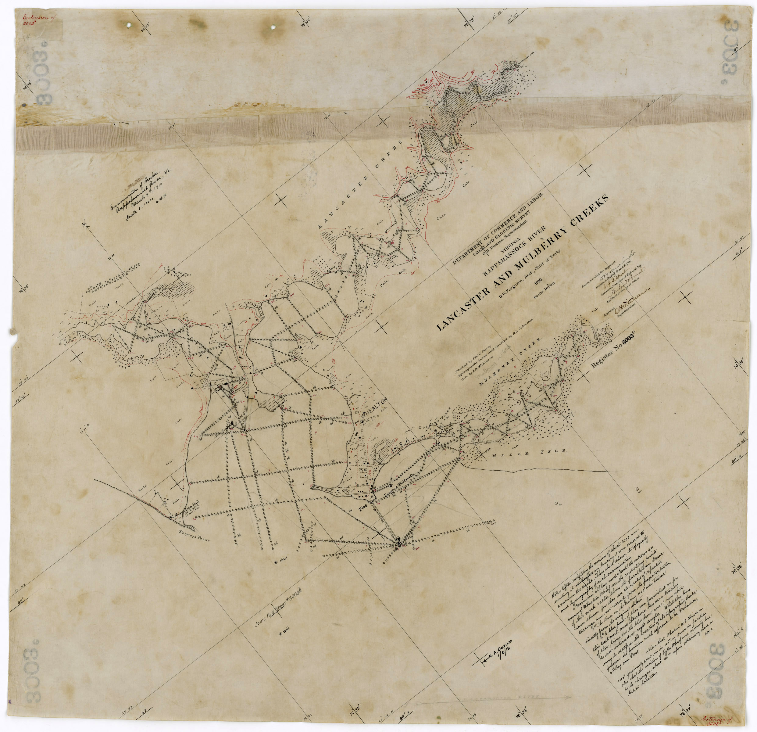
Federal
H03003D: NOS Hydrographic Survey , 1909-08-09
National Oceanic and Atmospheric Administration, Department of Commerce —
The National Oceanic and Atmospheric Administration (NOAA) has the statutory mandate to collect hydrographic data in support of nautical chart compilation for safe... -
Federal
H00367: NOS Hydrographic Survey
National Oceanic and Atmospheric Administration, Department of Commerce —
The National Oceanic and Atmospheric Administration (NOAA) has the statutory mandate to collect hydrographic data in support of nautical chart compilation for safe... -
Federal
H03011: NOS Hydrographic Survey , 1910-12-31
National Oceanic and Atmospheric Administration, Department of Commerce —
The National Oceanic and Atmospheric Administration (NOAA) has the statutory mandate to collect hydrographic data in support of nautical chart compilation for safe... -
Federal
H03425: NOS Hydrographic Survey , 1913-12-31
National Oceanic and Atmospheric Administration, Department of Commerce —
The National Oceanic and Atmospheric Administration (NOAA) has the statutory mandate to collect hydrographic data in support of nautical chart compilation for safe...

Official websites use .gov
A
.gov website belongs to an official government
organization in the United States.
Secure .gov websites use HTTPS
A
lock (
) or https:// means you’ve safely connected to
the .gov website. Share sensitive information only on official,
secure websites.