
-
Federal
Neighborhoods, US, 2017, Zillow, SEGS 54 recent views
U.S. Environmental Protection Agency —
This web service depicts nearly 17,000 neighborhood boundaries in over 650 U.S. cities. Zillow created the neighborhood boundaries and is sharing them with the public... -
Federal
BLM Natl MLRS Mining Claims - Not Closed 45 recent views
Department of the Interior —
This dataset contains mining claim cases with the case disposition (status) of anything other than closed from US Bureau of Land Management's, BLM, Mineral and Land... -
Federal
US EPA Nonattainment Areas and Designations 17 recent views
U.S. Environmental Protection Agency —
This web service contains the following state level layers:Ozone 8-hr (1997 standard), Ozone 8-hr (2008 standard), Lead (2008 standard), SO2 1-hr (2010 standard),... -
Federal
BLM ES PLSSSecondDivision 15 recent views
Department of the Interior —
The second division of the PLSS is quarter, quarter-quarter, sixteenth or government lot division of the PLSS. The second and third divisions are combined into this... -
University
Aquifers 14 recent views
Earth Data Analysis Center, University of New Mexico —
This map layer contains the shallowest principal aquifers of the conterminous United States, Hawaii, Puerto Rico, and the U.S. Virgin Islands, portrayed as polygons.... -
Federal
BLM Natl MLRS Oil and Gas Leases 14 recent views
Department of the Interior —
This dataset contains oil and gas leases cases derived from Legal Land Descriptions (LLD) contained in the US Bureau of Land Management's, BLM, Mineral and Land... -
Federal
BLM Natl MLRS Geothermal Leases 10 recent views
Department of the Interior —
This dataset contains geothermal leases cases derived from Legal Land Descriptions (LLD) contained in the US Bureau of Land Management's, BLM, Mineral and Land Record... -
Federal
Shoreline Mapping Program of HEAD OF GREEN BAY TO PESHTIGO POINT, INCLUDING FOX RIVER TO DE PERE, WI, WI1001G-CM-N NGDA
National Oceanic and Atmospheric Administration, Department of Commerce —
These data provide an accurate high-resolution shoreline compiled from imagery of HEAD OF GREEN BAY TO PESHTIGO POINT, INCLUDING FOX RIVER TO DE PERE, WI . This... -
Federal
BLM Natl MLRS Oil and Gas Agreements
Department of the Interior —
This dataset contains oil and gas agreements cases derived from Legal Land Descriptions (LLD) contained in the US Bureau of Land Management's, BLM, Mineral and Land... -
Federal
Shoreline Data Rescue Project of Nemadji River, Superior, Wisconsin, CM-8311 NGDA
National Oceanic and Atmospheric Administration, Department of Commerce —
These data were automated to provide an accurate high-resolution historical shoreline of Nemadji River, Superior, Wisconsin suitable as a geographic information... -
Federal
BLM Natl MLRS Locatable Plans of Operations
Department of the Interior —
This dataset contains plans of operations for locatable mineral cases derived from Legal Land Descriptions (LLD) contained in the US Bureau of Land Management's, BLM,... -
University
New Mexico Federal Lands
Earth Data Analysis Center, University of New Mexico —
This map layer consists of federally owned or administered lands of the United States, Puerto Rico, and the U.S. Virgin Islands. Only areas of 640 acres or more are... -
Federal
Educational Institutions, US, 2015, ORNL, SEGS
U.S. Environmental Protection Agency —
This SEGS web service contains the following layers: Colleges and Universities, Supplemental Colleges, Private Schools, Public Schools and Day Care Centers . Colleges... -
Federal
H03038: NOS Hydrographic Survey , 1909-12-31
National Oceanic and Atmospheric Administration, Department of Commerce —
The National Oceanic and Atmospheric Administration (NOAA) has the statutory mandate to collect hydrographic data in support of nautical chart compilation for safe... -
Federal
H00583: NOS Hydrographic Survey
National Oceanic and Atmospheric Administration, Department of Commerce —
The National Oceanic and Atmospheric Administration (NOAA) has the statutory mandate to collect hydrographic data in support of nautical chart compilation for safe... -
Federal
H03375: NOS Hydrographic Survey , 1912-12-31
National Oceanic and Atmospheric Administration, Department of Commerce —
The National Oceanic and Atmospheric Administration (NOAA) has the statutory mandate to collect hydrographic data in support of nautical chart compilation for safe... -
Federal
BLM Natl MLRS Land Use Authorization- Rights of Way ROW
Department of the Interior —
This dataset contains land use authorization- rights-of-way cases derived from Legal Land Descriptions (LLD) contained in the US Bureau of Land Management's, BLM,... -
Federal
H02710: NOS Hydrographic Survey
National Oceanic and Atmospheric Administration, Department of Commerce —
The National Oceanic and Atmospheric Administration (NOAA) has the statutory mandate to collect hydrographic data in support of nautical chart compilation for safe... -
Federal
H07791: NOS Hydrographic Survey , 1949-12-31
National Oceanic and Atmospheric Administration, Department of Commerce —
The National Oceanic and Atmospheric Administration (NOAA) has the statutory mandate to collect hydrographic data in support of nautical chart compilation for safe... -
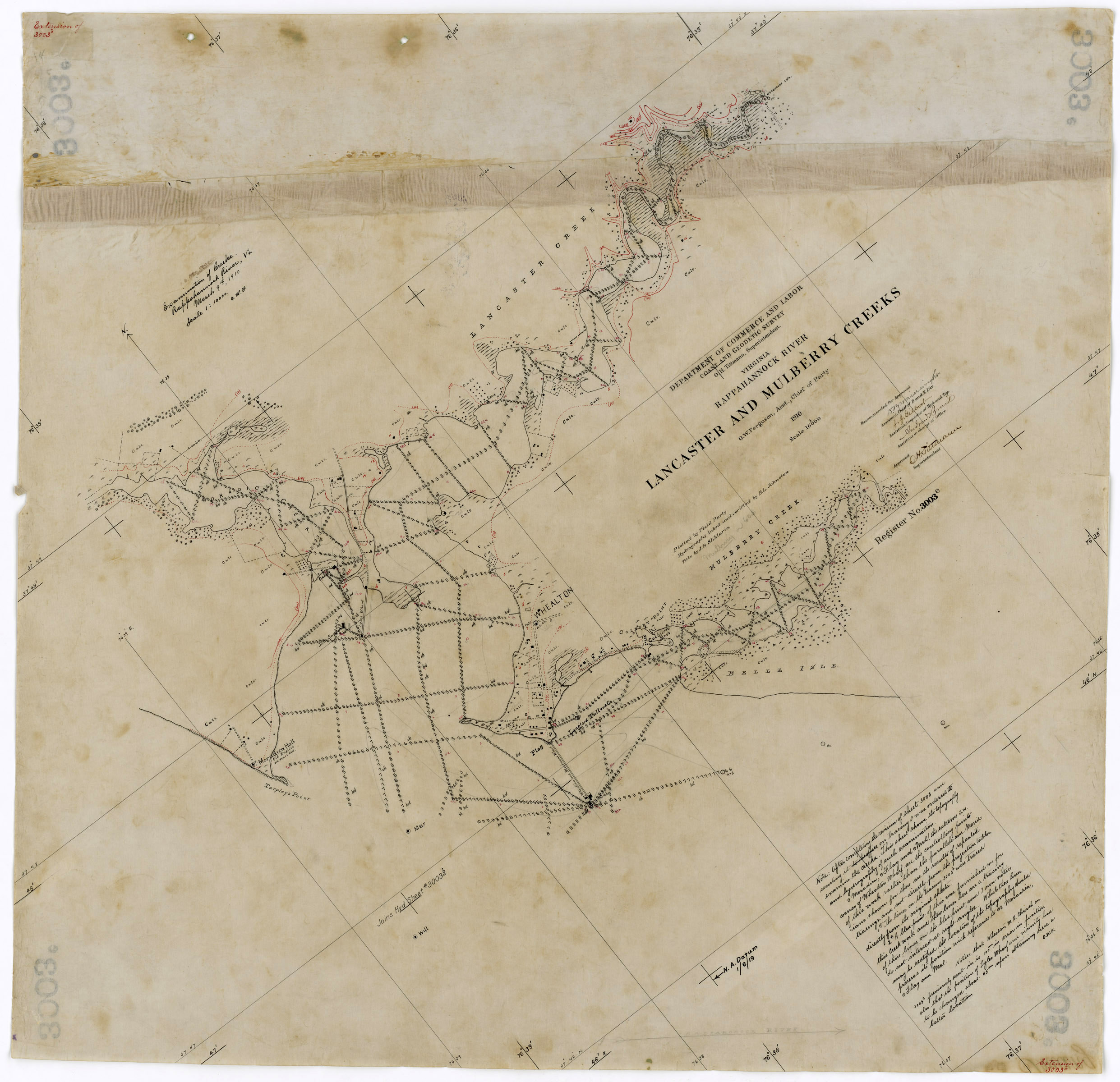
Federal
H03003D: NOS Hydrographic Survey , 1909-08-09
National Oceanic and Atmospheric Administration, Department of Commerce —
The National Oceanic and Atmospheric Administration (NOAA) has the statutory mandate to collect hydrographic data in support of nautical chart compilation for safe...

Official websites use .gov
A
.gov website belongs to an official government
organization in the United States.
Secure .gov websites use HTTPS
A
lock (
) or https:// means you’ve safely connected to
the .gov website. Share sensitive information only on official,
secure websites.