
-
Federal
Sea Level Trends: Sea Level Variations of the United States Derived from National Water Level Observation Network Stations NGDA 28 recent views
National Oceanic and Atmospheric Administration, Department of Commerce —
Water level records are a combination of the fluctuations of the ocean and the vertical land motion at the location of the station. Monthly mean sea level (MSL)... -
Federal
Tides and Currents Map: an interactive map of all CO-OPS stations NGDA 27 recent views
National Oceanic and Atmospheric Administration, Department of Commerce —
This interactive map has many features designed to provide a quick and easy way to find a Center for Operational Oceanographic Products and Services (CO-OPS) station.... -
Federal
Coastal Change Analysis Program (C-CAP) High Resolution Land Cover and Change Data NGDA 12 recent views
National Oceanic and Atmospheric Administration, Department of Commerce —
The NOAA Coastal Change Analysis Program (C-CAP) produces national standardized high resolution land cover and change products for the coastal regions of the U.S. and... -
Federal
Puget Sound 1/3 arc-second NAVD 88 Coastal Digital Elevation Model 11 recent views
National Oceanic and Atmospheric Administration, Department of Commerce —
NOAA's National Geophysical Data Center (NGDC) is building high-resolution digital elevation models (DEMs) for select U.S. coastal regions. These integrated... -
Federal
Willapa Bay, Washington Benthic Habitats 1995 Substrate
National Oceanic and Atmospheric Administration, Department of Commerce —
In June 1995, the Columbia River Estuary Study Taskforce (CREST) acquired 295 true color aerial photographs (1:12,000) of Willapa Bay, Washington, from the State of... -
Federal
High Tide Flooding Products from NOAA CO-OPS
National Oceanic and Atmospheric Administration, Department of Commerce —
High tide flooding is the overflow or excess accumulation of water that covers typically dry coastal land and occurs during high tides. As relative sea levels rise,... -
Federal
Biologically Important Areas for Cetaceans within U.S. Waters
National Oceanic and Atmospheric Administration, Department of Commerce —
Biologically important areas (BIAs) for cetaceans were defined by compiling the best available information from scientific literature (including books, peer-reviewed... -
Federal
Seagrass distribution off California
National Oceanic and Atmospheric Administration, Department of Commerce —
These data are a compilation of currently available seagrass GIS data sets for the west coast of the United States. These data have been compiled from seventeen... -
Federal
H04598: NOS Hydrographic Survey
National Oceanic and Atmospheric Administration, Department of Commerce —
The National Oceanic and Atmospheric Administration (NOAA) has the statutory mandate to collect hydrographic data in support of nautical chart compilation for safe... -
Federal
F00478: NOS Hydrographic Survey , St. Thomas Harbor, U.S. Virgin Islands, 2001-05-29
National Oceanic and Atmospheric Administration, Department of Commerce —
The National Oceanic and Atmospheric Administration (NOAA) has the statutory mandate to collect hydrographic data in support of nautical chart compilation for safe... -
Federal
Outer Coast of Washington and Oregon 2014 ESI PARKS-MANAGED AREAS Polygons
National Oceanic and Atmospheric Administration, Department of Commerce —
This data set contains vector polygons depicting boundaries for management areas, marine sanctuaries, nature conservancies, National Estuarine Research Reserves... -
Federal
1997 Fall West Coast NOAA/USGS/NASA Airborne LiDAR Assessment of Coastal Erosion (ALACE) Project for the US Coastline
National Oceanic and Atmospheric Administration, Department of Commerce —
This data set includes data collected in the fall of 1997 and covers the states of California, Oregon, and Washington. Collection was done prior to expected El Nino... -
Federal
NOAA Office for Coastal Management Coastal Inundation Digital Elevation Model: Seattle (WA) WFO - Clallam, Jefferson, Kitsap, Mason, Pierce, and Thurston Counties
National Oceanic and Atmospheric Administration, Department of Commerce —
This digital elevation model (DEM) is a part of a series of DEMs produced for the National Oceanic and Atmospheric Administration Office for Coastal Management's Sea... -
Federal
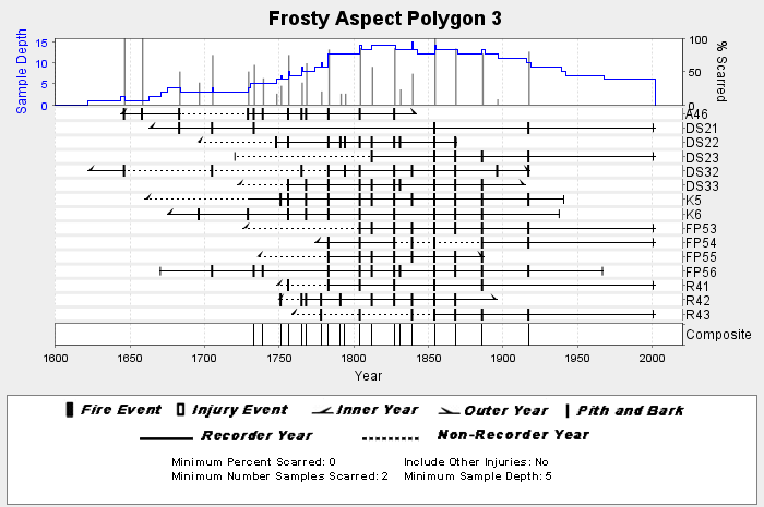
NOAA/WDS Paleoclimatology - Everett fire data from Frosty Aspect Polygon 3 - IMPD USFRS003
National Oceanic and Atmospheric Administration, Department of Commerce —
This archived Paleoclimatology Study is available from the NOAA National Centers for Environmental Information (NCEI), under the World Data Service (WDS) for... -
Federal
NOAA/WDS Paleoclimatology - Everett fire data from Twenty Mile Aspect Polygon 4 - IMPD USTWM004
National Oceanic and Atmospheric Administration, Department of Commerce —
This archived Paleoclimatology Study is available from the NOAA National Centers for Environmental Information (NCEI), under the World Data Service (WDS) for... -
Federal
NOAA/WDS Paleoclimatology - Everett fire data from Twenty Mile Aspect Polygon 8 - IMPD USTWM008
National Oceanic and Atmospheric Administration, Department of Commerce —
This archived Paleoclimatology Study is available from the NOAA National Centers for Environmental Information (NCEI), under the World Data Service (WDS) for... -
Federal
NOAA/WDS Paleoclimatology - Everett fire data from Frosty Aspect Polygon 6 - IMPD USFRS006
National Oceanic and Atmospheric Administration, Department of Commerce —
This archived Paleoclimatology Study is available from the NOAA National Centers for Environmental Information (NCEI), under the World Data Service (WDS) for... -
Federal
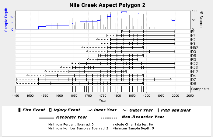
NOAA/WDS Paleoclimatology - Everett fire data from Nile Creek Aspect Polygon 2 - IMPD USNIL002
National Oceanic and Atmospheric Administration, Department of Commerce —
This archived Paleoclimatology Study is available from the NOAA National Centers for Environmental Information (NCEI), under the World Data Service (WDS) for... -
Federal
2016 USGS West Coast El-Nino Lidar DEM (WA, OR, CA)
National Oceanic and Atmospheric Administration, Department of Commerce —
Towill collected approximately 75 square miles of coast in Oregon, 486 square miles of coast in Washington and California, and an additional 44 square miles for USACE...

Official websites use .gov
A
.gov website belongs to an official government
organization in the United States.
Secure .gov websites use HTTPS
A
lock (
) or https:// means you’ve safely connected to
the .gov website. Share sensitive information only on official,
secure websites.