

42 datasets found
-
Federal
Neighborhoods, US, 2017, Zillow, SEGS 83 recent views
U.S. Environmental Protection Agency —
This web service depicts nearly 17,000 neighborhood boundaries in over 650 U.S. cities. Zillow created the neighborhood boundaries and is sharing them with the public... -
Federal
BLM Natl MLRS Mining Claims - Not Closed 51 recent views
Department of the Interior —
This dataset contains mining claim cases with the case disposition (status) of anything other than closed from US Bureau of Land Management's, BLM, Mineral and Land... -
University
Aquifers 26 recent views
Earth Data Analysis Center, University of New Mexico —
This map layer contains the shallowest principal aquifers of the conterminous United States, Hawaii, Puerto Rico, and the U.S. Virgin Islands, portrayed as polygons.... -
Federal
BLM Natl MLRS Oil and Gas Leases 21 recent views
Department of the Interior —
This dataset contains oil and gas leases cases derived from Legal Land Descriptions (LLD) contained in the US Bureau of Land Management's, BLM, Mineral and Land... -
Federal
BLM Natl MLRS Geothermal Leases 13 recent views
Department of the Interior —
This dataset contains geothermal leases cases derived from Legal Land Descriptions (LLD) contained in the US Bureau of Land Management's, BLM, Mineral and Land Record... -
University
New Mexico Federal Lands
Earth Data Analysis Center, University of New Mexico —
This map layer consists of federally owned or administered lands of the United States, Puerto Rico, and the U.S. Virgin Islands. Only areas of 640 acres or more are... -
Federal
BLM Natl MLRS Mineral Materials
Department of the Interior —
This dataset contains mineral materials cases derived from Legal Land Descriptions (LLD) contained in the US Bureau of Land Management's, BLM, Mineral and Land Record... -
Federal
Educational Institutions, US, 2015, ORNL, SEGS
U.S. Environmental Protection Agency —
This SEGS web service contains the following layers: Colleges and Universities, Supplemental Colleges, Private Schools, Public Schools and Day Care Centers . Colleges... -
Federal
BLM Natl MLRS Locatable Plans of Operations
Department of the Interior —
This dataset contains plans of operations for locatable mineral cases derived from Legal Land Descriptions (LLD) contained in the US Bureau of Land Management's, BLM,... -
Federal
BLM Natl MLRS Oil and Gas Agreements
Department of the Interior —
This dataset contains oil and gas agreements cases derived from Legal Land Descriptions (LLD) contained in the US Bureau of Land Management's, BLM, Mineral and Land... -
Federal
BLM Natl MLRS Land Use Authorization- Rights of Way ROW
Department of the Interior —
This dataset contains land use authorization- rights-of-way cases derived from Legal Land Descriptions (LLD) contained in the US Bureau of Land Management's, BLM,... -
Federal
BLM Natl MLRS Mining Claims -Closed
Department of the Interior —
This dataset contains mining claim cases with the case disposition (status) of closed from US Bureau of Land Management's, BLM, Mineral and Land Record System(MLRS).... -
Federal
Appalachian Basin Play Fairway Analysis: Revised 2016 Combined Risk Factor Analysis
Department of Energy —
This submission contains information used to compute the combined risk factors for deep geothermal energy opportunities in the Appalachian Basin, in the context of a... -
Federal
Natural Reservoir Analysis in Low-Temperature Geothermal Play Fairway Analysis for the Appalachian Basin
Department of Energy —
The files included in this submission contain all data pertinent to the methods and results of this task's output, which is a cohesive multi-state map of all known... -
Federal
Risk Factor Analysis in Low-Temperature Geothermal Play Fairway Analysis for the Appalachian Basin (GPFA-AB)
Department of Energy —
This submission contains information used to compute the risk factors for the GPFA-AB project. The risk factors are natural reservoir quality, thermal resource... -
Federal
BLM Natl MLRS Oil and Gas Participating Areas
Department of the Interior —
This dataset contains oil and gas participating area cases derived from Legal Land Descriptions (LLD) contained in the US Bureau of Land Management's, BLM, Mineral... -
Federal
BLM ES Administrative Unit Office NGDA
Department of the Interior —
This polygon feature class represents the spatial extent of active BLM Administrative Unit Boundaries at the State, District, and Field Office levels. -
Federal
H13610: NOS Hydrographic Survey , 2022-08-12
National Oceanic and Atmospheric Administration, Department of Commerce —
The National Oceanic and Atmospheric Administration (NOAA) has the statutory mandate to collect hydrographic data in support of nautical chart compilation for safe... -
Federal
H13611: NOS Hydrographic Survey , 2022-08-15
National Oceanic and Atmospheric Administration, Department of Commerce —
The National Oceanic and Atmospheric Administration (NOAA) has the statutory mandate to collect hydrographic data in support of nautical chart compilation for safe... -
Federal
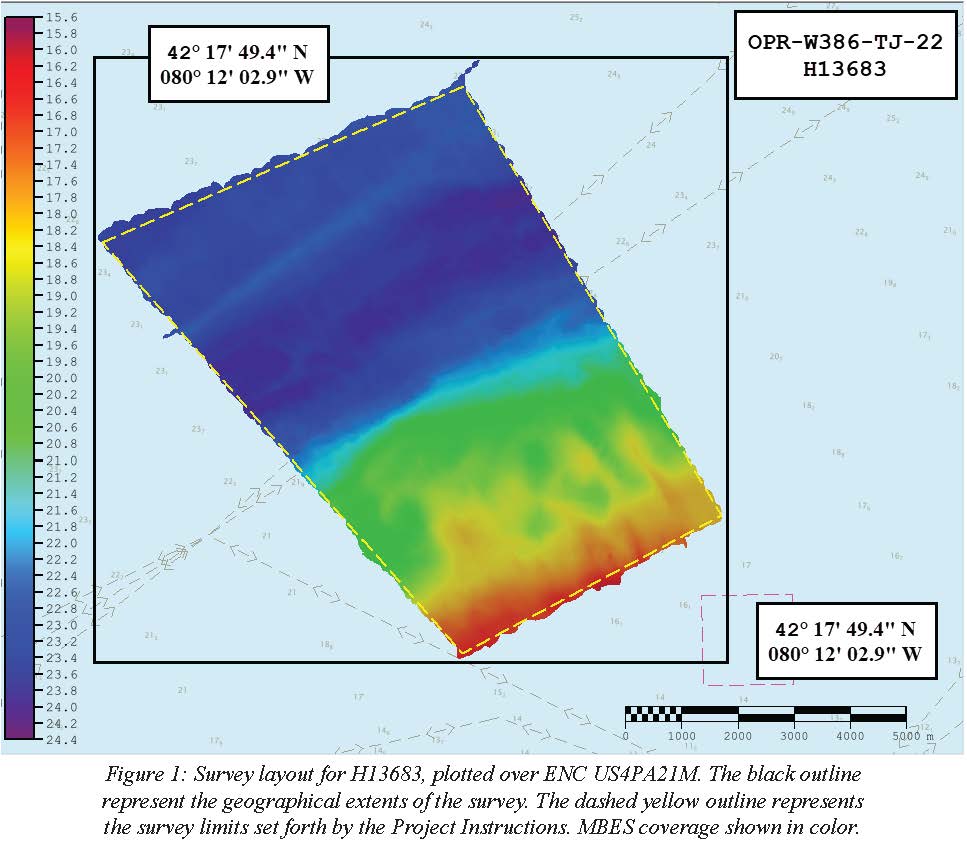
H13683: NOS Hydrographic Survey , 2022-08-14
National Oceanic and Atmospheric Administration, Department of Commerce —
The National Oceanic and Atmospheric Administration (NOAA) has the statutory mandate to collect hydrographic data in support of nautical chart compilation for safe...
42 datasets found