
-
Federal
Tides and Currents Map: an interactive map of all CO-OPS stations NGDA 34 recent views
National Oceanic and Atmospheric Administration, Department of Commerce —
This interactive map has many features designed to provide a quick and easy way to find a Center for Operational Oceanographic Products and Services (CO-OPS) station.... -
Federal
Social Vulnerability Index (SoVI) for the U.S. Coastal States based on the 2010 Census Tracts 29 recent views
National Oceanic and Atmospheric Administration, Department of Commerce —
The Social Vulnerability Index (SoVI) 2006-10 measures the social vulnerability of U.S. counties to environmental hazards. The index is a comparative metric that... -
Federal
Meteorological Data (including visibility) 13 recent views
National Oceanic and Atmospheric Administration, Department of Commerce —
The National Ocean Service (NOS) maintains a long-term database containing data from active and historic stations installed all over the United States and U.S.... -
Federal
National Status and Trends: Mussel Watch Program 13 recent views
National Oceanic and Atmospheric Administration, Department of Commerce —
Mussel Watch is the longest running continuous chemical contaminant monitoring program in U.S. coastal and Great Lakes waters and was created in response to concerns... -
Federal
Shoreline Mapping Program of Port of Taconite, MN, MN1601-CS-N NGDA
National Oceanic and Atmospheric Administration, Department of Commerce —
These data provide an accurate high-resolution shoreline compiled from imagery of Port of Taconite, MN . This vector shoreline data is based on an office... -
Federal
Shoreline Data Rescue Project of Lake Superior, Two Harbors and Knife River, CM-8316 NGDA
National Oceanic and Atmospheric Administration, Department of Commerce —
These data were automated to provide an accurate high-resolution historical shoreline of Lake Superior, Two Harbors and Knife River suitable as a geographic... -
Federal
Agricultural land use by field: Minnesota 2010-2019
Department of Agriculture —
Improving the quality of water discharged from agricultural watersheds requires comprehensive and adaptive approaches for planning and implementing conservation... -
Federal
2022 Cartographic Boundary File (KML), Current Place for Minnesota, 1:500,000
U.S. Census Bureau, Department of Commerce —
The 2022 cartographic boundary KMLs are simplified representations of selected geographic areas from the U.S. Census Bureau's Master Address File / Topologically... -
Federal
H03430: NOS Hydrographic Survey
National Oceanic and Atmospheric Administration, Department of Commerce —
The National Oceanic and Atmospheric Administration (NOAA) has the statutory mandate to collect hydrographic data in support of nautical chart compilation for safe... -
Federal
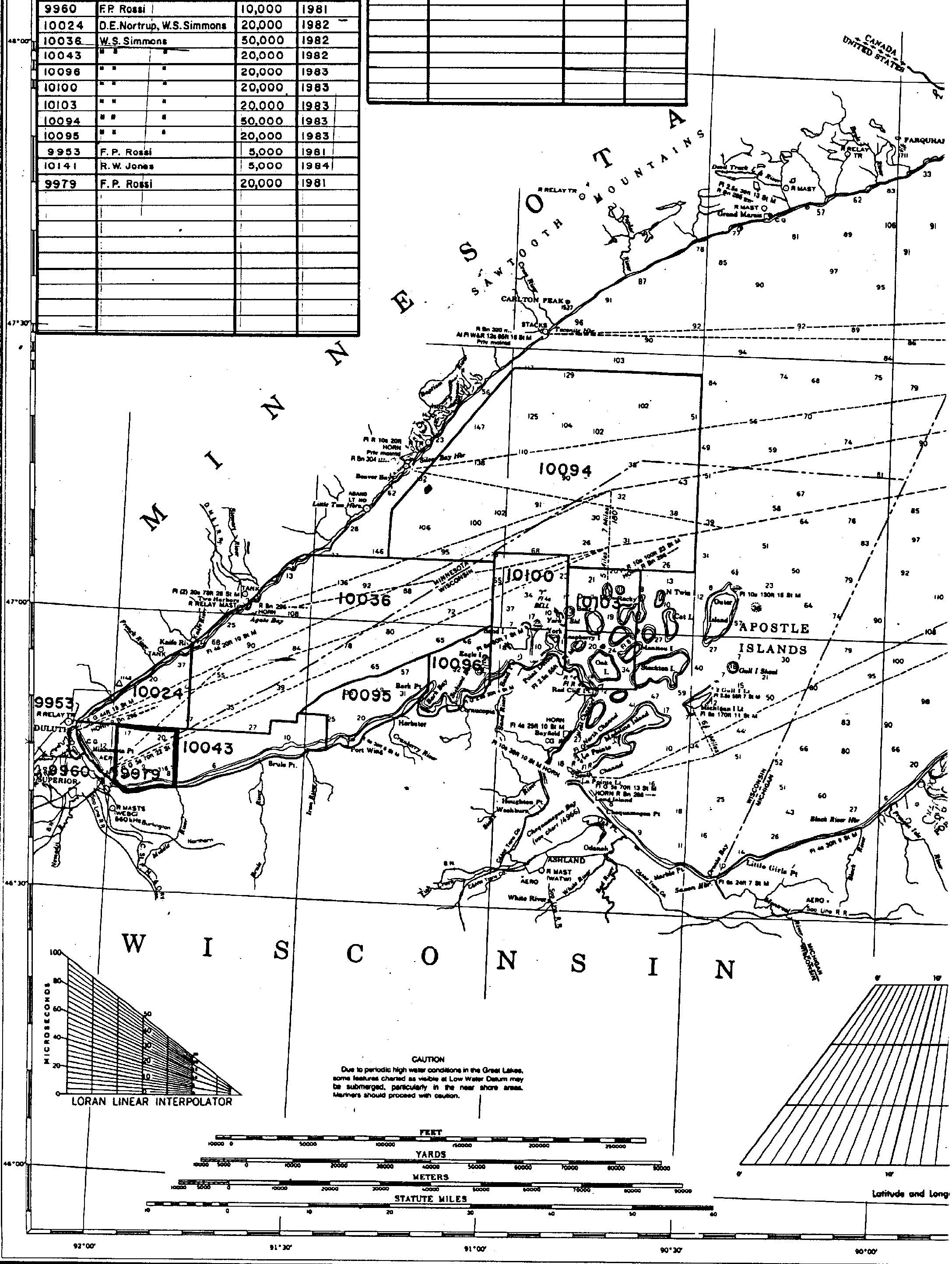
H09979: NOS Hydrographic Survey , Lake Superior, Wisconsin Minnesota, 1982-09-23
National Oceanic and Atmospheric Administration, Department of Commerce —
The National Oceanic and Atmospheric Administration (NOAA) has the statutory mandate to collect hydrographic data in support of nautical chart compilation for safe... -
Federal
2020 Cartographic Boundary File (SHP), Current County Subdivision for Minnesota, 1:500,000
U.S. Census Bureau, Department of Commerce —
The 2020 cartographic boundary shapefiles are simplified representations of selected geographic areas from the U.S. Census Bureau's Master Address File /... -
Federal
2022 Cartographic Boundary File (SHP), Current Secondary School District for Minnesota, 1:500,000
U.S. Census Bureau, Department of Commerce —
The 2022 cartographic boundary shapefiles are simplified representations of selected geographic areas from the U.S. Census Bureau's Master Address File /... -
Federal
2022 Cartographic Boundary File (SHP), Current Place for Minnesota, 1:500,000
U.S. Census Bureau, Department of Commerce —
The 2022 cartographic boundary shapefiles are simplified representations of selected geographic areas from the U.S. Census Bureau's Master Address File /... -
Federal
2022 Cartographic Boundary File (KML), Current Unified School District for Minnesota, 1:500,000
U.S. Census Bureau, Department of Commerce —
The 2022 cartographic boundary KMLs are simplified representations of selected geographic areas from the U.S. Census Bureau's Master Address File / Topologically... -
Federal
2022 Cartographic Boundary File (KML), Current State Legislative District-Upper Chamber for Minnesota, 1:500,000
U.S. Census Bureau, Department of Commerce —
The 2022 cartographic boundary KMLs are simplified representations of selected geographic areas from the U.S. Census Bureau's Master Address File / Topologically... -
Federal
NOAA Water Levels for Coastal, Estuaries and Great Lakes regions
National Oceanic and Atmospheric Administration, Department of Commerce —
For over 200 years, NOAA's Center for Operational Oceanographic Products and Services (CO-OPS) and its predecessors have been managing a comprehensive system for... -
Federal
H03559: NOS Hydrographic Survey
National Oceanic and Atmospheric Administration, Department of Commerce —
The National Oceanic and Atmospheric Administration (NOAA) has the statutory mandate to collect hydrographic data in support of nautical chart compilation for safe... -
Federal
2020 Cartographic Boundary File (KML), Current Elementary School District for Minnesota, 1:500,000
U.S. Census Bureau, Department of Commerce —
The 2020 cartographic boundary KMLs are simplified representations of selected geographic areas from the U.S. Census Bureau's Master Address File / Topologically... -
Federal
H03428: NOS Hydrographic Survey
National Oceanic and Atmospheric Administration, Department of Commerce —
The National Oceanic and Atmospheric Administration (NOAA) has the statutory mandate to collect hydrographic data in support of nautical chart compilation for safe... -
Federal
2022 Cartographic Boundary File (KML), Current Census Tract for Minnesota, 1:500,000
U.S. Census Bureau, Department of Commerce —
The 2022 cartographic boundary KMLs are simplified representations of selected geographic areas from the U.S. Census Bureau's Master Address File / Topologically...

Official websites use .gov
A
.gov website belongs to an official government
organization in the United States.
Secure .gov websites use HTTPS
A
lock (
) or https:// means you’ve safely connected to
the .gov website. Share sensitive information only on official,
secure websites.