
-
Federal
H13432: NOS Hydrographic Survey , 2021-06-23
National Oceanic and Atmospheric Administration, Department of Commerce —
The National Oceanic and Atmospheric Administration (NOAA) has the statutory mandate to collect hydrographic data in support of nautical chart compilation for safe... -
Federal
H13285: NOS Hydrographic Survey , 2019-11-26
National Oceanic and Atmospheric Administration, Department of Commerce —
The National Oceanic and Atmospheric Administration (NOAA) has the statutory mandate to collect hydrographic data in support of nautical chart compilation for safe... -
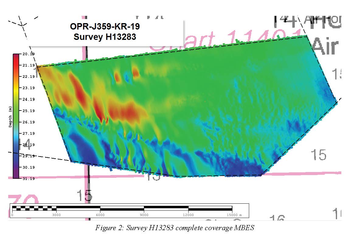
Federal
H13283: NOS Hydrographic Survey , 2019-11-26
National Oceanic and Atmospheric Administration, Department of Commerce —
The National Oceanic and Atmospheric Administration (NOAA) has the statutory mandate to collect hydrographic data in support of nautical chart compilation for safe... -
Federal
H13178: NOS Hydrographic Survey , 2019-07-24
National Oceanic and Atmospheric Administration, Department of Commerce —
The National Oceanic and Atmospheric Administration (NOAA) has the statutory mandate to collect hydrographic data in support of nautical chart compilation for safe... -
Federal
Southwest Peninsular Florida 2016 ESI RESOURCE MANAGEMENT Polygons, Points
National Oceanic and Atmospheric Administration, Department of Commerce —
This data set contains vector polygons representing critical habitats, and vector points representing aquaculture, artificial reefs, recreational fishing, and water... -
Federal
Shoreline Data Rescue Project of Pensacola, Florida, FL26C01 NGDA
National Oceanic and Atmospheric Administration, Department of Commerce —
These data were automated to provide an accurate high-resolution historical shoreline of Pensacola, Florida suitable as a geographic information system (GIS) data... -
Federal
Shoreline Data Rescue Project of Stuart, Florida, FL129C02 NGDA
National Oceanic and Atmospheric Administration, Department of Commerce —
These data were automated to provide an accurate high-resolution historical shoreline of Stuart, Florida suitable as a geographic information system (GIS) data layer.... -
Federal
Shoreline Mapping Program of Port Canaveral, FL, FL1904-CS-N NGDA
National Oceanic and Atmospheric Administration, Department of Commerce —
These data provide an accurate high-resolution shoreline compiled from imagery of Port Canaveral, FL . This vector shoreline data is based on an office interpretation... -
Federal
2021 NOAA NGS Topobathy Lidar DEM Southern Tampa Bay, Florida
National Oceanic and Atmospheric Administration, Department of Commerce —
These data were collected by Dewberry using a CZMIL Nova system. The data were acquired from 20210126 - 20210227. The data include topobathy data in LAS 1.4 format... -
Federal
2023 NOAA NGS Ortho-rectified 4-band Mosaic of Pensacola, FL
National Oceanic and Atmospheric Administration, Department of Commerce —
This data set contains 4-band ortho-rectified mosaic tiles, created as a product from the NOAA Integrated Ocean and Coastal Mapping (IOCM) initiative. They are 8 bit... -
Federal
Coastal Mapping Program of Port of Jacksonville/Mayport, FL, FL2309-CS-N NGDA
National Oceanic and Atmospheric Administration, Department of Commerce —
These data provide an accurate high-resolution shoreline compiled from imagery of Port of Jacksonville/Mayport, FL . This vector shoreline data is based on an office... -
Federal
Coastal Mapping Program of Caxambas Pass to Tripod Key, FL, FL1604B-TB-N NGDA
National Oceanic and Atmospheric Administration, Department of Commerce —
These data provide an accurate high-resolution shoreline compiled from imagery of Caxambas Pass to Tripod Key, FL . This vector shoreline data is based on an office... -
Federal
Coastal Mapping Program of Big Coppitt Key to Marquesas Keys, FL, FL1806G-TB-C NGDA
National Oceanic and Atmospheric Administration, Department of Commerce —
These data provide an accurate high-resolution shoreline compiled from imagery of Big Coppitt Key to Marquesas Keys, FL . This vector shoreline data is based on an... -
Federal
2021 NOAA NGS Ortho-rectified 4-band Mosaic of Southern Florida Bay, Florida
National Oceanic and Atmospheric Administration, Department of Commerce —
This data set contains ortho-rectified mosaic tiles, created as a product from the NOAA Integrated Ocean and Coastal Mapping (IOCM) initiative. The source imagery was... -
Federal
February 2007 Multibeam Mapping of Pulley Ridge, southwest Florida
National Oceanic and Atmospheric Administration, Department of Commerce —
This disk or set of disks contain high-resolution multibeam and backscatter maps of the Pulley Ridge Area, near the Tortugas, in the Gulf of Mexico. It includes the... -
Federal
November 2007 Multibeam Mapping of South West corner of Pulley Ridge
National Oceanic and Atmospheric Administration, Department of Commerce —
This disk or set of disks contain high-resolution multibeam and backscatter maps of the south-western corner of the Pulley Ridge Area, near the Tortugas, in the Gulf...

Official websites use .gov
A
.gov website belongs to an official government
organization in the United States.
Secure .gov websites use HTTPS
A
lock (
) or https:// means you’ve safely connected to
the .gov website. Share sensitive information only on official,
secure websites.