
-
Federal
Tides and Currents Map: an interactive map of all CO-OPS stations NGDA 27 recent views
National Oceanic and Atmospheric Administration, Department of Commerce —
This interactive map has many features designed to provide a quick and easy way to find a Center for Operational Oceanographic Products and Services (CO-OPS) station.... -
Federal
Sea Level Trends: Sea Level Variations of the United States Derived from National Water Level Observation Network Stations NGDA 23 recent views
National Oceanic and Atmospheric Administration, Department of Commerce —
Water level records are a combination of the fluctuations of the ocean and the vertical land motion at the location of the station. Monthly mean sea level (MSL)... -
Federal
Continental United States Hurricane Strikes Since 1950 14 recent views
National Oceanic and Atmospheric Administration, Department of Commerce —
This is an annual edition poster showing all of the hurricanes having impacted the continental U.S. from 1950 to 2022. This 36x28 inch glossy poster gives a quick... -
Federal
H10027: NOS Hydrographic Survey , Delaware River, 1982-09-23
National Oceanic and Atmospheric Administration, Department of Commerce —
The National Oceanic and Atmospheric Administration (NOAA) has the statutory mandate to collect hydrographic data in support of nautical chart compilation for safe... -
Federal
Meteorological Data (including visibility)
National Oceanic and Atmospheric Administration, Department of Commerce —
The National Ocean Service (NOS) maintains a long-term database containing data from active and historic stations installed all over the United States and U.S.... -
Federal
H02498: NOS Hydrographic Survey
National Oceanic and Atmospheric Administration, Department of Commerce —
The National Oceanic and Atmospheric Administration (NOAA) has the statutory mandate to collect hydrographic data in support of nautical chart compilation for safe... -
Federal
H09964: NOS Hydrographic Survey , Billingsport to Marcus Hook, Pennsylvania and New Jersey, 1981-10-15
National Oceanic and Atmospheric Administration, Department of Commerce —
The National Oceanic and Atmospheric Administration (NOAA) has the statutory mandate to collect hydrographic data in support of nautical chart compilation for safe... -
Federal
GL_LAKE_ERIE_2022 ESI INVERT Polygons
National Oceanic and Atmospheric Administration, Department of Commerce —
These feature classes reside within the BIOLOGY Feature Data Set of the Lake Erie - 2022 ESI Geodatabase. It contains vector polygons representing invertebrate data... -
Federal
GL_LAKE_ERIE_2022 ESI HYDRO Polygons, Lines
National Oceanic and Atmospheric Administration, Department of Commerce —
The feature classes HYDROL and HYDROP contain vector lines and polygons representing the coastal shoreline and hydrography used in the creation of the Environmental... -
Federal
2022 NOAA NGS Ortho-rectified 4-band Mosaic of Philadelphia, Camden-Gloucester, Paulsboro, Pennsylvania
National Oceanic and Atmospheric Administration, Department of Commerce —
This data set contains 4-band ortho-rectified mosaic tiles, created as a product from the NOAA Integrated Ocean and Coastal Mapping (IOCM) initiative. The source... -
Federal
H09942: NOS Hydrographic Survey , Billingsport to Marcus Hook, Pennsylvania and New Jersey, 1981-08-28
National Oceanic and Atmospheric Administration, Department of Commerce —
The National Oceanic and Atmospheric Administration (NOAA) has the statutory mandate to collect hydrographic data in support of nautical chart compilation for safe... -
Federal
H13610: NOS Hydrographic Survey , 2022-08-12
National Oceanic and Atmospheric Administration, Department of Commerce —
The National Oceanic and Atmospheric Administration (NOAA) has the statutory mandate to collect hydrographic data in support of nautical chart compilation for safe... -
Federal
H13611: NOS Hydrographic Survey , 2022-08-15
National Oceanic and Atmospheric Administration, Department of Commerce —
The National Oceanic and Atmospheric Administration (NOAA) has the statutory mandate to collect hydrographic data in support of nautical chart compilation for safe... -
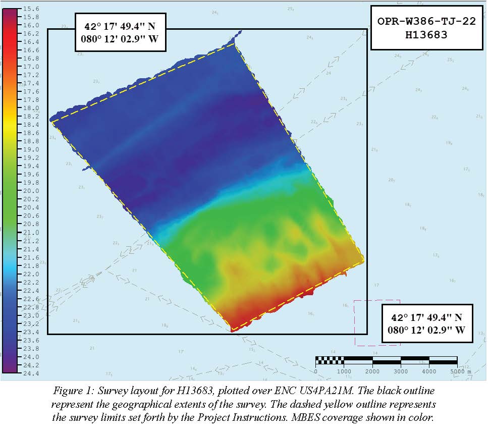
Federal
H13683: NOS Hydrographic Survey , 2022-08-14
National Oceanic and Atmospheric Administration, Department of Commerce —
The National Oceanic and Atmospheric Administration (NOAA) has the statutory mandate to collect hydrographic data in support of nautical chart compilation for safe... -
Federal
F00504: NOS Hydrographic Survey , Delaware Bay, Pennsylvania, 2004-12-07
National Oceanic and Atmospheric Administration, Department of Commerce —
The National Oceanic and Atmospheric Administration (NOAA) has the statutory mandate to collect hydrographic data in support of nautical chart compilation for safe... -
Federal
Federal Consistency Geographic Location Descriptions
National Oceanic and Atmospheric Administration, Department of Commerce —
These data represent state geographic location descriptions (GLDs). Section 307 of the Coastal Zone Management Act of 1972, called the "federal consistency"... -
Federal
GL_LAKE_ERIE_2022 ESI BENTHIC Polygons
National Oceanic and Atmospheric Administration, Department of Commerce —
This feature class resides within the BIOLOGY Feature Data Set of the Lake Erie - 2022 ESI Geodatabase. It contains vector polygons representing BENTHIC data for Lake... -
Federal
NOAA/WDS Paleoclimatology - Saladyga fire data from Spring Mountain East, Northeast Pennsylvania (Schuylkill County) - IMPD USSME001
National Oceanic and Atmospheric Administration, Department of Commerce —
This archived Paleoclimatology Study is available from the NOAA National Centers for Environmental Information (NCEI), under the World Data Service (WDS) for... -
Federal
Coastal Change Analysis Program (C-CAP) Regional Land Cover Data and Change Data NGDA
National Oceanic and Atmospheric Administration, Department of Commerce —
The NOAA Coastal Change Analysis Program (C-CAP) produces national standardized land cover and change products for the coastal regions of the U.S. C-CAP products... -
Federal
Extreme Water Levels from CO-OPS
National Oceanic and Atmospheric Administration, Department of Commerce —
Extremely high or low water levels at coastal locations are an important public concern and a factor in coastal hazard assessment, navigational safety, and ecosystem...

Official websites use .gov
A
.gov website belongs to an official government
organization in the United States.
Secure .gov websites use HTTPS
A
lock (
) or https:// means you’ve safely connected to
the .gov website. Share sensitive information only on official,
secure websites.
.jpg)