
-
Federal
Sea Level Trends: Sea Level Variations of the United States Derived from National Water Level Observation Network Stations NGDA 23 recent views
National Oceanic and Atmospheric Administration, Department of Commerce —
Water level records are a combination of the fluctuations of the ocean and the vertical land motion at the location of the station. Monthly mean sea level (MSL)... -
Federal
Shoreline Data Rescue Project of Delaware River, PA, EC7E06 NGDA
National Oceanic and Atmospheric Administration, Department of Commerce —
These data were automated to provide an accurate high-resolution historical shoreline of Delaware River, PA suitable as a geographic information system (GIS) data... -
Federal
H10027: NOS Hydrographic Survey , Delaware River, 1982-09-23
National Oceanic and Atmospheric Administration, Department of Commerce —
The National Oceanic and Atmospheric Administration (NOAA) has the statutory mandate to collect hydrographic data in support of nautical chart compilation for safe... -
Federal
Shoreline Data Rescue Project of Delaware River, PA, MD133C02 NGDA
National Oceanic and Atmospheric Administration, Department of Commerce —
These data were automated to provide an accurate high-resolution historical shoreline of Delaware River, PA suitable as a geographic information system (GIS) data... -
Federal
Shoreline Mapping Program of Ports of Trenton and Penn Manor, NJ-PA, NJ1801-CS-N NGDA
National Oceanic and Atmospheric Administration, Department of Commerce —
These data provide an accurate high-resolution shoreline compiled from imagery of Ports of Trenton and Penn Manor, NJ-PA . This vector shoreline data is based on an... -
Federal
Meteorological Data (including visibility)
National Oceanic and Atmospheric Administration, Department of Commerce —
The National Ocean Service (NOS) maintains a long-term database containing data from active and historic stations installed all over the United States and U.S.... -
Federal
H02498: NOS Hydrographic Survey
National Oceanic and Atmospheric Administration, Department of Commerce —
The National Oceanic and Atmospheric Administration (NOAA) has the statutory mandate to collect hydrographic data in support of nautical chart compilation for safe... -
Federal
H09964: NOS Hydrographic Survey , Billingsport to Marcus Hook, Pennsylvania and New Jersey, 1981-10-15
National Oceanic and Atmospheric Administration, Department of Commerce —
The National Oceanic and Atmospheric Administration (NOAA) has the statutory mandate to collect hydrographic data in support of nautical chart compilation for safe... -
Federal
Estuarine Living Marine Resources: Mid-Atlantic Regional Distribution and Abundance (NCEI Accession 0162403)
National Oceanic and Atmospheric Administration, Department of Commerce —
This is the Mid-Atlantic regional component of NOAAâs Estuarine Living Marine Resources (ELMR) Project, a national database of ecologically and economically... -
Federal
Research Report of Low Temperature Geothermal Play Fairway Analysis for the Appalachian Basin
Department of Energy —
This is a final report summarizing a one-year (2014-15) DOE funded Geothermal Play Fairway Analysis of the Low-Temperature resources of the Appalachian Basin of New... -
Federal
Natural Reservoir Analysis in Low-Temperature Geothermal Play Fairway Analysis for the Appalachian Basin
Department of Energy —
The files included in this submission contain all data pertinent to the methods and results of this task's output, which is a cohesive multi-state map of all known... -
Federal
2022 NOAA NGS Ortho-rectified 4-band Mosaic of Philadelphia, Camden-Gloucester, Paulsboro, Pennsylvania
National Oceanic and Atmospheric Administration, Department of Commerce —
This data set contains 4-band ortho-rectified mosaic tiles, created as a product from the NOAA Integrated Ocean and Coastal Mapping (IOCM) initiative. The source... -
Federal
Shoreline Data Rescue Project of Delaware River, PA and NJ, PA1935A NGDA
National Oceanic and Atmospheric Administration, Department of Commerce —
These data were automated to provide an accurate high-resolution historical shoreline of Delaware River, PA and NJ suitable as a geographic information system (GIS)... -
Federal
H09942: NOS Hydrographic Survey , Billingsport to Marcus Hook, Pennsylvania and New Jersey, 1981-08-28
National Oceanic and Atmospheric Administration, Department of Commerce —
The National Oceanic and Atmospheric Administration (NOAA) has the statutory mandate to collect hydrographic data in support of nautical chart compilation for safe... -
Federal
H13610: NOS Hydrographic Survey , 2022-08-12
National Oceanic and Atmospheric Administration, Department of Commerce —
The National Oceanic and Atmospheric Administration (NOAA) has the statutory mandate to collect hydrographic data in support of nautical chart compilation for safe... -
Federal
H13611: NOS Hydrographic Survey , 2022-08-15
National Oceanic and Atmospheric Administration, Department of Commerce —
The National Oceanic and Atmospheric Administration (NOAA) has the statutory mandate to collect hydrographic data in support of nautical chart compilation for safe... -
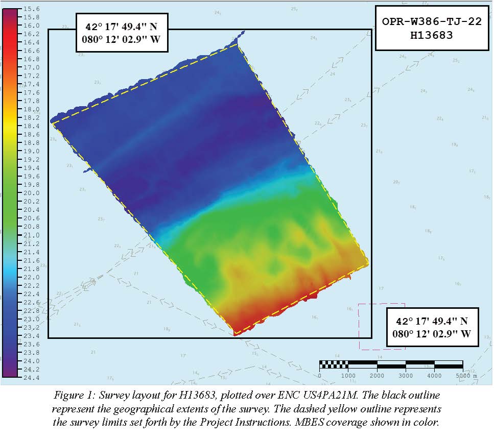
Federal
H13683: NOS Hydrographic Survey , 2022-08-14
National Oceanic and Atmospheric Administration, Department of Commerce —
The National Oceanic and Atmospheric Administration (NOAA) has the statutory mandate to collect hydrographic data in support of nautical chart compilation for safe... -
Federal
F00504: NOS Hydrographic Survey , Delaware Bay, Pennsylvania, 2004-12-07
National Oceanic and Atmospheric Administration, Department of Commerce —
The National Oceanic and Atmospheric Administration (NOAA) has the statutory mandate to collect hydrographic data in support of nautical chart compilation for safe... -
Federal
Shoreline Mapping Program of PORTS OF PHILADELPHIA AND CAMDEN-GLOUCESTER, PA-NJ, PA0901 NGDA
National Oceanic and Atmospheric Administration, Department of Commerce —
These data provide an accurate high-resolution shoreline compiled from imagery of PORTS OF PHILADELPHIA AND CAMDEN-GLOUCESTER, PA-NJ . This vector shoreline data is... -
Federal
Shoreline Mapping Program of PORTS OF MARCUS HOOK AND CHESTER, PA AND PAULSBORO, NJ, PA0902 NGDA
National Oceanic and Atmospheric Administration, Department of Commerce —
These data provide an accurate high-resolution shoreline compiled from imagery of PORTS OF MARCUS HOOK AND CHESTER, PA AND PAULSBORO, NJ . This vector shoreline data...

Official websites use .gov
A
.gov website belongs to an official government
organization in the United States.
Secure .gov websites use HTTPS
A
lock (
) or https:// means you’ve safely connected to
the .gov website. Share sensitive information only on official,
secure websites.
.jpg)