
-
Federal
H05309: NOS Hydrographic Survey , 1931-12-31
National Oceanic and Atmospheric Administration, Department of Commerce —
The National Oceanic and Atmospheric Administration (NOAA) has the statutory mandate to collect hydrographic data in support of nautical chart compilation for safe... -
Federal
H02727: NOS Hydrographic Survey
National Oceanic and Atmospheric Administration, Department of Commerce —
The National Oceanic and Atmospheric Administration (NOAA) has the statutory mandate to collect hydrographic data in support of nautical chart compilation for safe... -
Federal
H08723: NOS Hydrographic Survey , Southcentral Coast, Maui Island, Hawaii, 1963-05-25
National Oceanic and Atmospheric Administration, Department of Commerce —
The National Oceanic and Atmospheric Administration (NOAA) has the statutory mandate to collect hydrographic data in support of nautical chart compilation for safe... -
Federal
W00075: NOS Hydrographic Survey , Dod-US Navy Initiative(W00075), 2000-12-22
National Oceanic and Atmospheric Administration, Department of Commerce —
The National Oceanic and Atmospheric Administration (NOAA) has the statutory mandate to collect hydrographic data in support of nautical chart compilation for safe... -
Federal
W00112: NOS Hydrographic Survey , Outside Source Data - 2000, 2000-12-20
National Oceanic and Atmospheric Administration, Department of Commerce —
The National Oceanic and Atmospheric Administration (NOAA) has the statutory mandate to collect hydrographic data in support of nautical chart compilation for safe... -
Federal
2013 Topographic Lidar DEM: Oahu
National Oceanic and Atmospheric Administration, Department of Commerce —
The Oahu, Hawaii Elevation Data Task Order involves collecting and delivering topographic elevation point data derived from multiple return light detection and... -
Federal
C-CAP Land Cover, Big Island, Hawaii
National Oceanic and Atmospheric Administration, Department of Commerce —
This data set consists of land derived from high resolution imagery and was analyzed according to the Coastal Change Analysis Program (C-CAP) protocol to determine... -
Federal
Shoreline Mapping Program of Laysan Island, Northwestern Hawaiian Islands, HI, HI01G NGDA
National Oceanic and Atmospheric Administration, Department of Commerce —
These data provide an accurate high-resolution shoreline compiled from imagery of Laysan Island, Northwestern Hawaiian Islands, HI . This vector shoreline data is... -
Federal
Shoreline Data Rescue Project of Hawaii Island - North Coast, Hawaii, CM-7712 NGDA
National Oceanic and Atmospheric Administration, Department of Commerce —
These data were automated to provide an accurate high-resolution historical shoreline of Hawaii Island - North Coast, Hawaii suitable as a geographic information... -
Federal
Shoreline Data Rescue Project of French Frigate Shoals, Hawaiian Islands, FFSHOALS NGDA
National Oceanic and Atmospheric Administration, Department of Commerce —
These data were automated to provide an accurate high-resolution historical shoreline of French Frigate Shoals, Hawaiian Islands suitable as a geographic information... -
Federal
Earth System Research Laboratory Halocarbons and Other Atmospheric Trace Gases Otto Instrument Measurements
National Oceanic and Atmospheric Administration, Department of Commerce —
The Halocarbons and other Atmospheric Trace Species (HATS) group aims to quantify the atmospheric burden, and the distributions and magnitudes of sources and sinks... -
Federal
H09911: NOS Hydrographic Survey , Hawaii Island, Hawaii, 1980-11-17
National Oceanic and Atmospheric Administration, Department of Commerce —
The National Oceanic and Atmospheric Administration (NOAA) has the statutory mandate to collect hydrographic data in support of nautical chart compilation for safe... -
Federal
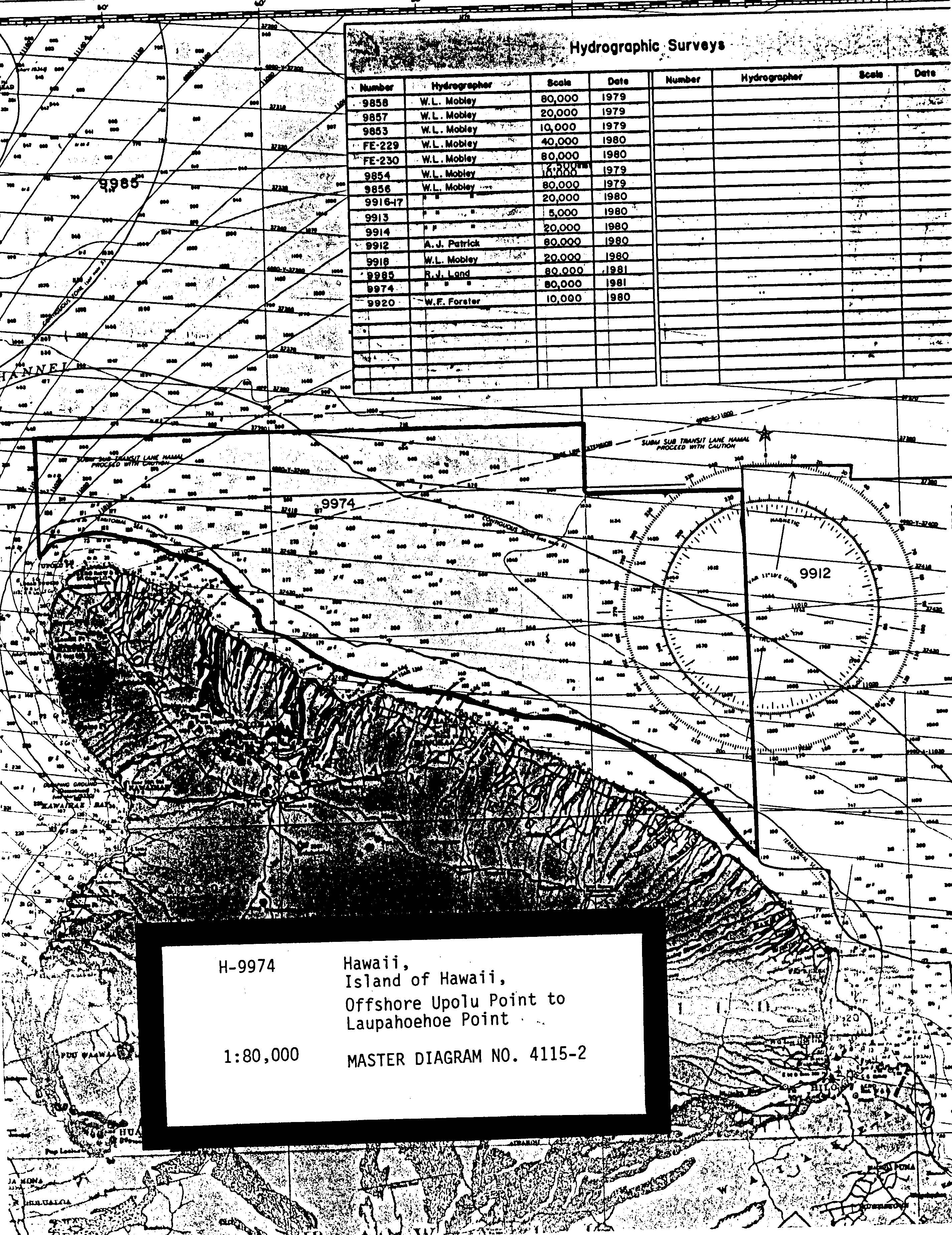
H09974: NOS Hydrographic Survey , Hawaii Islands, Hawaii, 1981-11-21
National Oceanic and Atmospheric Administration, Department of Commerce —
The National Oceanic and Atmospheric Administration (NOAA) has the statutory mandate to collect hydrographic data in support of nautical chart compilation for safe... -
Federal
H09914: NOS Hydrographic Survey , Kaaha to Palima Point, Hawaii, 1980-11-05
National Oceanic and Atmospheric Administration, Department of Commerce —
The National Oceanic and Atmospheric Administration (NOAA) has the statutory mandate to collect hydrographic data in support of nautical chart compilation for safe... -
Federal
H09917: NOS Hydrographic Survey , Cape Kumukahi and Southwest, Hawaii, 1980-11-03
National Oceanic and Atmospheric Administration, Department of Commerce —
The National Oceanic and Atmospheric Administration (NOAA) has the statutory mandate to collect hydrographic data in support of nautical chart compilation for safe... -
Federal
H03581: NOS Hydrographic Survey
National Oceanic and Atmospheric Administration, Department of Commerce —
The National Oceanic and Atmospheric Administration (NOAA) has the statutory mandate to collect hydrographic data in support of nautical chart compilation for safe... -
Federal
H03252A: NOS Hydrographic Survey
National Oceanic and Atmospheric Administration, Department of Commerce —
The National Oceanic and Atmospheric Administration (NOAA) has the statutory mandate to collect hydrographic data in support of nautical chart compilation for safe... -
Federal
H02457: NOS Hydrographic Survey
National Oceanic and Atmospheric Administration, Department of Commerce —
The National Oceanic and Atmospheric Administration (NOAA) has the statutory mandate to collect hydrographic data in support of nautical chart compilation for safe... -
Federal
H04456: NOS Hydrographic Survey
National Oceanic and Atmospheric Administration, Department of Commerce —
The National Oceanic and Atmospheric Administration (NOAA) has the statutory mandate to collect hydrographic data in support of nautical chart compilation for safe... -
Federal
H02459: NOS Hydrographic Survey
National Oceanic and Atmospheric Administration, Department of Commerce —
The National Oceanic and Atmospheric Administration (NOAA) has the statutory mandate to collect hydrographic data in support of nautical chart compilation for safe...

Official websites use .gov
A
.gov website belongs to an official government
organization in the United States.
Secure .gov websites use HTTPS
A
lock (
) or https:// means you’ve safely connected to
the .gov website. Share sensitive information only on official,
secure websites.
.jpg)